The Grampians National Park, Victoria
How to get there. The Grampians are just over 258 kilometres from Melbourne. Drive to Geelong and take the A8 to Stawell and then turn off to Halls Gap. At Halls Gap there's an excellent information centre with maps on the main walks. Stawell also has a good information centre so it's worth stopping there as well.

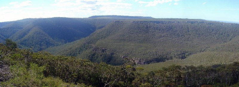
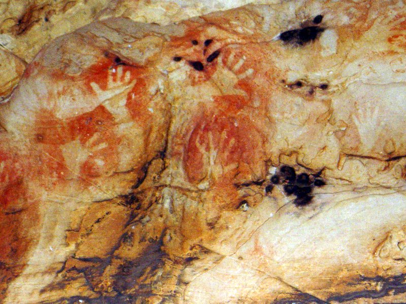
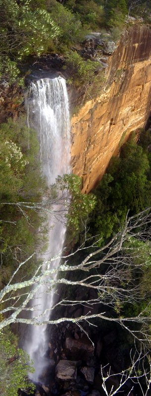
 The Walks. I've done quite a few so I won't comment on any particular trail. I'll do that later. The Grampians consist of a main system of ranges encompassing some 167,000 hectares. It has everything; magestic waterfalls, a kangaroo feeding ground, spectacular summit vistas, ancient Koori art sites, such as the cave of fishes and the sublime cave of hands, to name just two. Then there's the many other heritage sites such as the houses of the German pioneer families. There's a good range of accomodation available at Hall's Gap which is a great place for a long weekend devoted to walking. I've attached a few pics taken from my many trips there in 2004 and 2005.
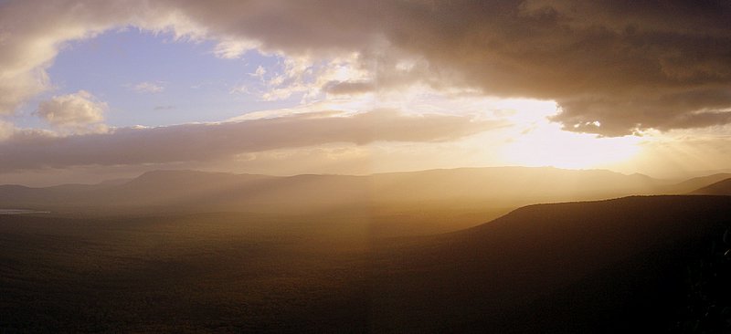
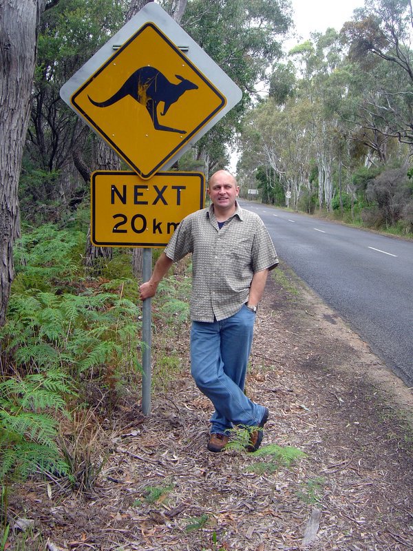
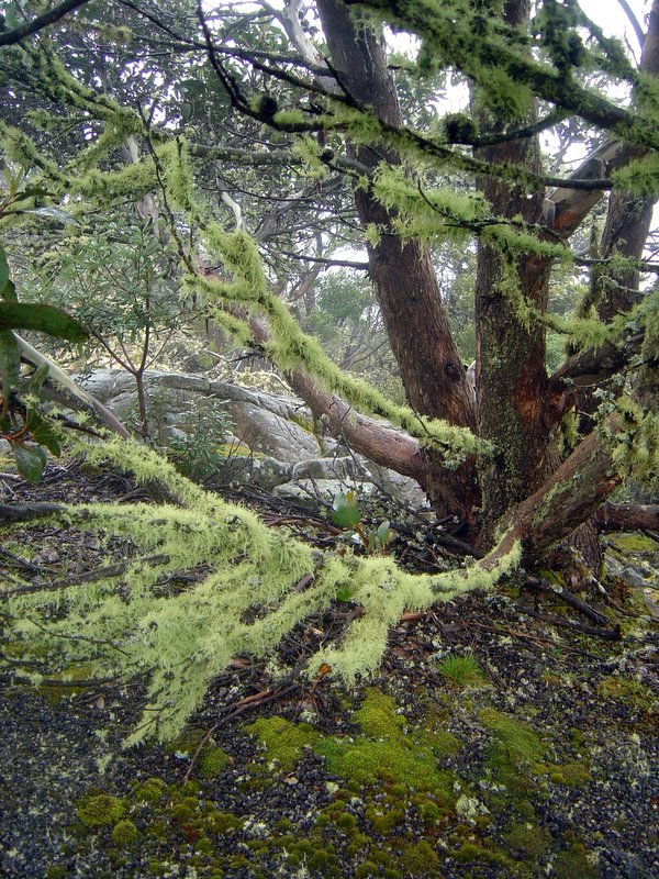
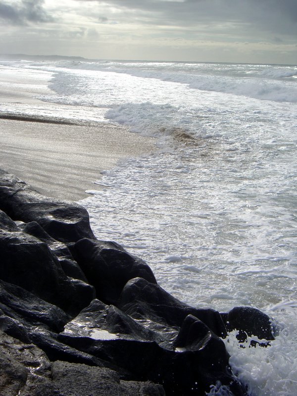
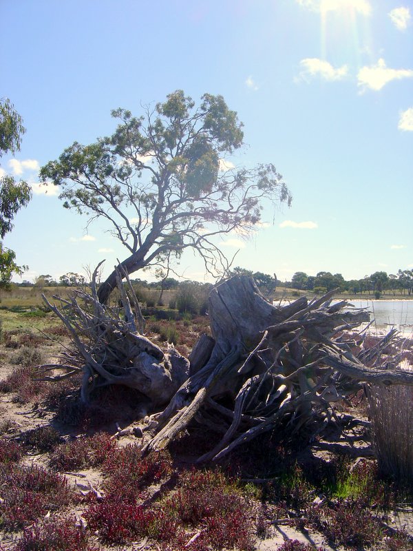
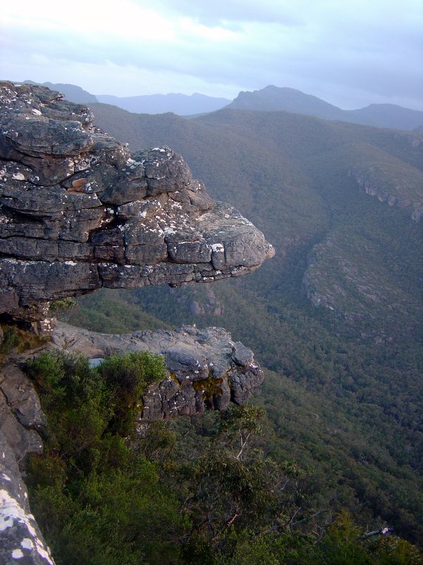
The Pictures: 1. Grampian's Sunset, 2.View from Mt William on Misty Day, 3. The Jaws of Death, 4. Mossy Tree on Mt William, 5. Cave of Hands. 6. Me on Road to Halls Gap.


